The European Commission and Mercator Ocean have signed a Delegation Agreement last November 11st 2014 to implement and to manage the Copernicus Marine Environment Monitoring Service (CMEMS).
COPERNICUS is the EU Earth Observation and Monitoring Programme. It aims to achieve an autonomous and operational Earth observation capacity (space and in-situ observation infrastructure) and to operate six different services: marine, atmosphere, land and climate change monitoring, together with support for emergency and security services.
The CMEMS is open since May 2015 and provides regular and systematic reference information on the physical state and on marine ecosystems for the global ocean and on the European regional seas (temperature, currents, salinity, sea surface height, sea ice, marine optics, nutrients, etc.). This capacity encompasses satellite and in-situ observation-derived products, the description of the current situation (analysis), the prediction of the situation days ahead (forecast), and the provision of consistent retrospective data records for recent years (re-analysis).
The CMEMS is designed to serve many public, commercial and scientific purposes including major EU policies such as the Marine Strategy Framework Directive, fight against pollution, and protection of marine species, maritime safety and routing, sustainable exploitation of ocean resources, marine energy resources, climate monitoring, and hurricane forecasting.
The pilot scheme of the Service has been under development from 2009 to 2014 on the basis of a series of EU research projects (the MyOcean series) coordinated by Mercator Ocean and involving more than 60 partners.
To date, the CMEMS has more than 5200 registered users worldwide.
Under the Delegation Agreement, Mercator Ocean undertakes to successfully implement and develop a user-driven core service expected to contribute to European innovation and competitiveness and help build the Blue Economy, providing generic, reliable, timely and up-to-date information related to the Global Ocean and the European Seas that is:
- open and freely available through a single access point (a web portal);
- a state-of-the-art operational oceanography service;
- a European Service, with no overlap or duplications with the scope and responsibilities of the institutional marine services of Member States.
The scientifically qualified service is on full, open and free access for users via a single point of entry, a dedicated portal that gives access to a catalogue of a more than a hundred oceanography products (Observations and Models) that are regularly updated.
The CMEMS is a “core” service providing a sustainable response to European user needs in four areas of benefits: 1. maritime safety, 2. marine resources, 3. coastal and marine environment, 4. weather, seasonal forecast and climate, for which improving knowledge of the seas and oceans is of utmost importance.
The CMEMS catalogue covers 7 geographical areas called “Regions”:
- Global Ocean,
- Arctic Ocean,
- Baltic Sea,
- Atlantic European North West Shelf Ocean (“NWS”),
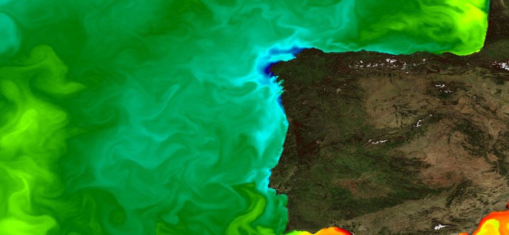
- Atlantic European South West Shelf Ocean (also called Iberian-Biscay-Ireland Area: “IBI”),
- Mediterranean Sea
- Black Sea.
In continuity with MyOcean practices, the CMEMS pays particular attention to users and potential users not only through a dedicated Service Desk and a collaborative forum, but also by organizing regular users and training workshops. For a regional approach, it is more relevant to gather users and potential users according to their geographical needs. Mercator Ocean intends to organize 2 to 3 Regional User and Training Workshops (RUTW) on an annual basis. For 2015 the regions are IBI and Mediterranean Sea.